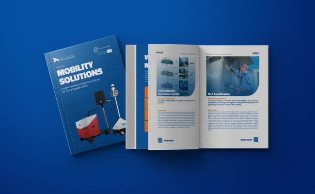
Products
Explore market-ready mobility solutions across diverse needs and areas. Discover innovations proven to positively impact global smart cities.
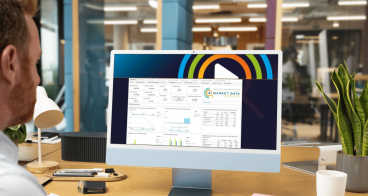
MDSI: Market Data Service International
Market intelligence software platform for the cycle industry
Find out more...about MDSI: Market Data Service International
DIY Bus and Shuttle
Create and manage your own demand-responsive shuttle and bus services…
Find out more...about DIY Bus and Shuttle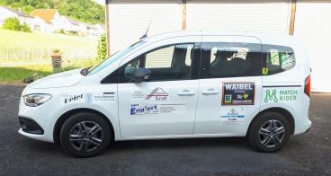
DIY On Demand
Match Rider’s on-demand mobility solution empowers communities with…
Find out more...about DIY On Demand
DIY Ridesharing
Match Rider’s DIY Ridesharing makes carpooling easy and reliable with…
Find out more...about DIY Ridesharing
Vortex Air Quality Monitoring System
Vortex IoT provides smart sensing and data solutions that help cities…
Find out more...about Vortex Air Quality Monitoring System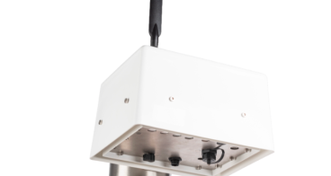
EMSOL Praxis Air Quality Monitor
An MCERTS-certified air quality monitoring device delivering high…
Find out more...about EMSOL Praxis Air Quality Monitor
Velosafe: Track & Protect IoT module
An integrated e-bike security system combining IoT tracking…
Find out more...about Velosafe: Track & Protect IoT module
Persium Pod
Indoor and outdoor advanced miniaturised air quality and…
Find out more...about Persium Pod
Tyre wear capture device
Capturing tyre wear PM on commercial vans to improve air quality in…
Find out more...about Tyre wear capture device
MOBIRE
Scalable, cost-effective battery repair and lifecycle tracking via…
Find out more...about MOBIRE
Roadscor
Roadscor is a risk-focused tool that enhances safety at intersections…
Find out more...about Roadscor
Eco Solutions Margherita
A compact, off-grid solar charging shelter designed for small urban…
Find out more...about Eco Solutions Margherita


