

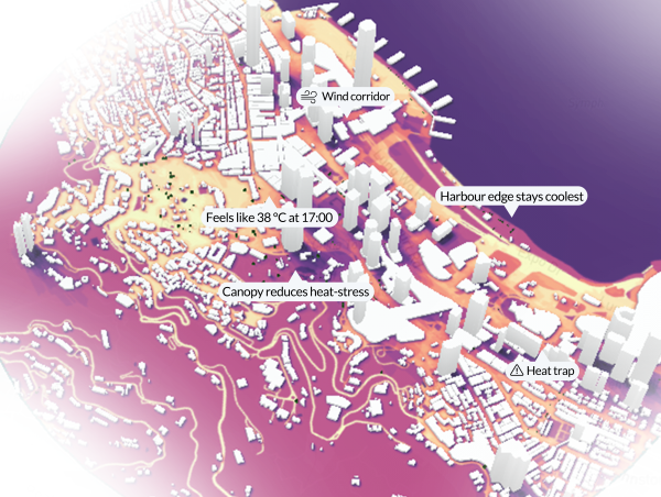
infrared.city insights mark places of interest and define intervention approach
infrared.city
A global climate intelligence layer for cities and buildings: an AI powered platform mapping outdoor comfort (heat, wind, sun) in seconds to guide mobility and planning decisions.
Supported by EIT Urban Mobility
Product Details
infrared.city is the AI-powered climate intelligence layer for cities and digital twins. A platform that makes climate and microclimate simulation instantly accessible for cities, planners and designers. It delivers in real-time the analysis on outdoor comfort (thermal, solar and wind comfort) that used to require months of expert lead work. Beyond the data, infrared.city turns simulation into accessible insights.
Accessible via a cloud apps, GIS, CAD and BIM integrations, and an open API, it fits directly into city planning and monitoring workflows. For mobility and urban planning, it maps outdoor comfort across transportaion modals, identifies risk areas and tests what-if interventions before investing.
Automated workflows turn complex climate problems into actionable insights that support planning and monitoring teams and offer a communication interface to the citizen. Data turned intelligence helping to build sustainable, comfortable cities that respond to local climate.
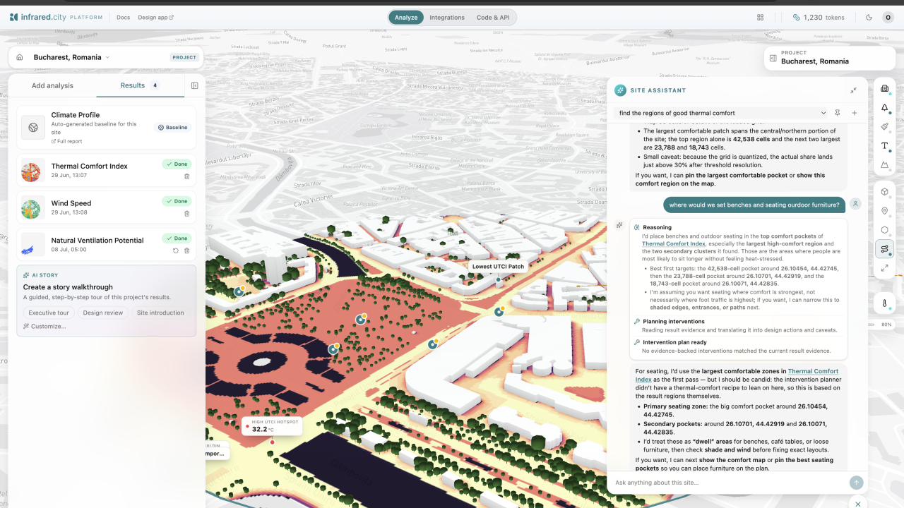
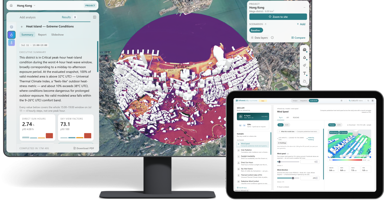
infrared.city platform in action, simulation layers are recommended based on the local climate. These results inform the site selection recommendations by the site agent.
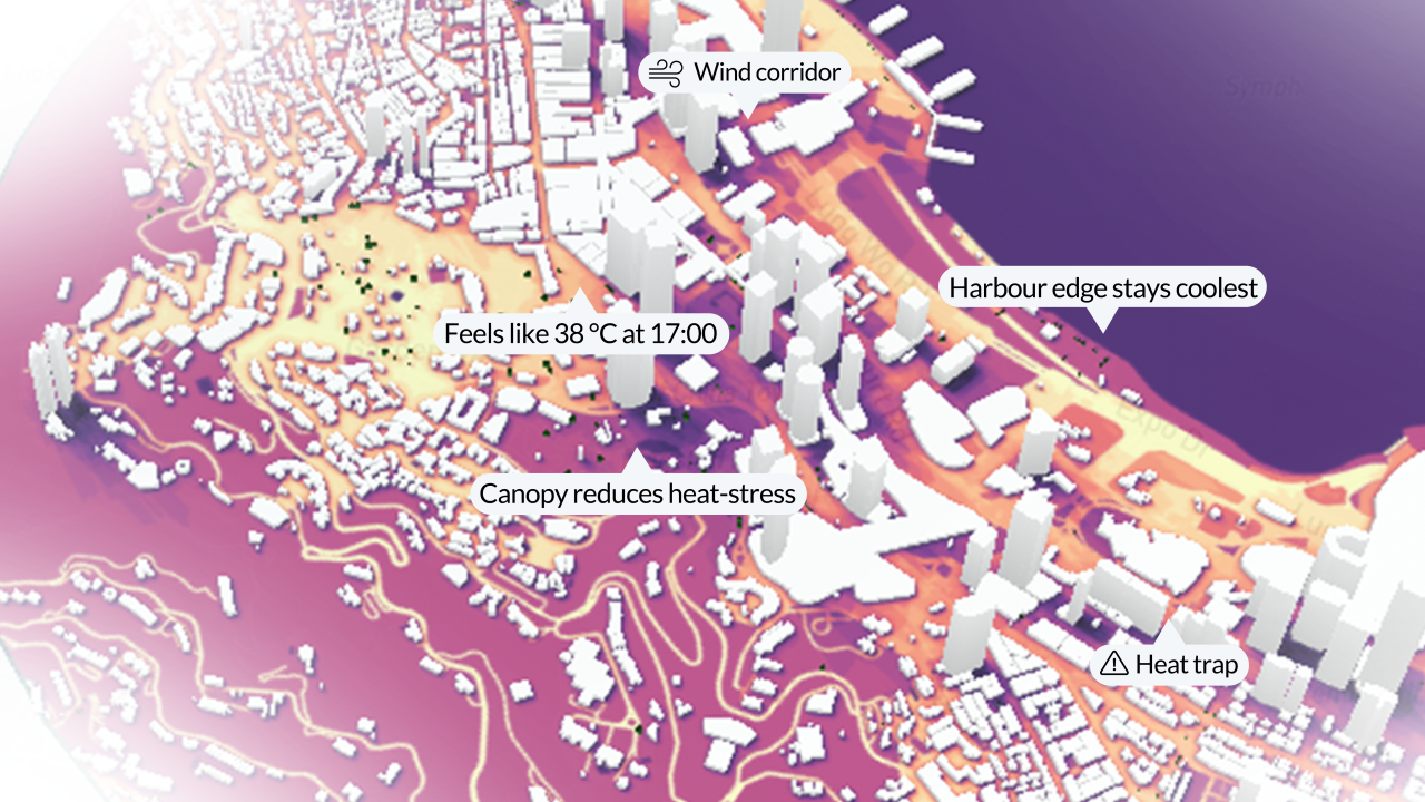
infrared.city insights mark places of interest and define intervention approach
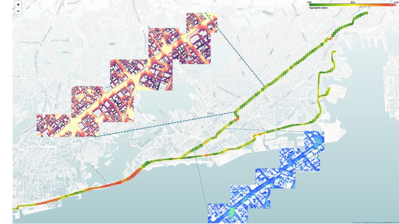
Climate conditions tested on a marathon route, provide athletes with climate aware performance insights
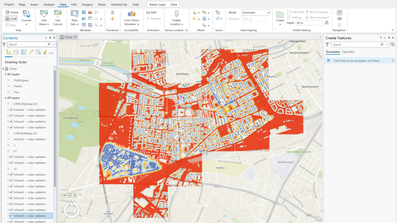
infrared.city in ArcGIS
infrared.city platform in action, simulation layers are recommended based on the local climate. These results inform the site selection recommendations by the site agent.
infrared.city insights mark places of interest and define intervention approach
Climate conditions tested on a marathon route, provide athletes with climate aware performance insights
infrared.city in ArcGIS
Availability
Discover cities and markets where the product is available