

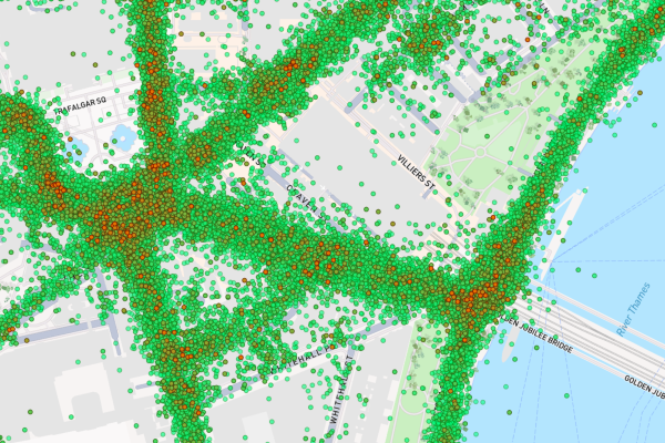
G-force heatmap dots in London on Road Intelligence.
Compass IoT
Connected vehicle data for improved, safe, and efficient mobility across London.
Supported by EIT Urban Mobility
Product Details
Compass IoT offers connected vehicle data to help professionals build better, safer, and more resilient cities through actionable vehicle-generated insights.
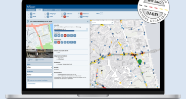
The Road Intelligence for London Mobility (RILM) project specifically focuses on tackling safety, public transport, and congestion mobility issues within London. The platform provides actionable data on near-misses, speeds, and traffic flow for real-time traffic insights, road safety analytics, and public transport optimisation. With self-service access and custom dashboards, RILM aims to accelerate progress in the Mayor’s Transport Strategy and improve Vision Zero goals.
Click the "Contact us" button to start a conversation!
Best Practices

Using connected vehicle data to identify road safety risks in London
Availability
Discover cities and markets where the product is available