Urban Logistics by Urban Radar
Benefit from a global vision of local delivery activity to implement policies for more efficient and sustainable urban logistics planning:enablingcurb
Supported by: EIT Urban Mobility
Product Details
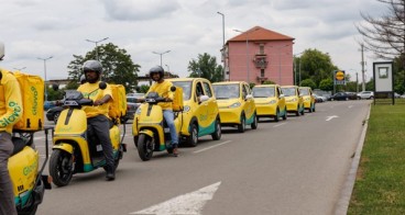
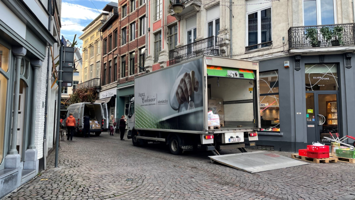
Decarbonise urban freight with Urban Logistics by Urban Radar.
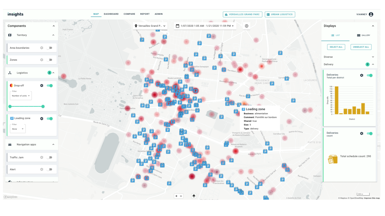
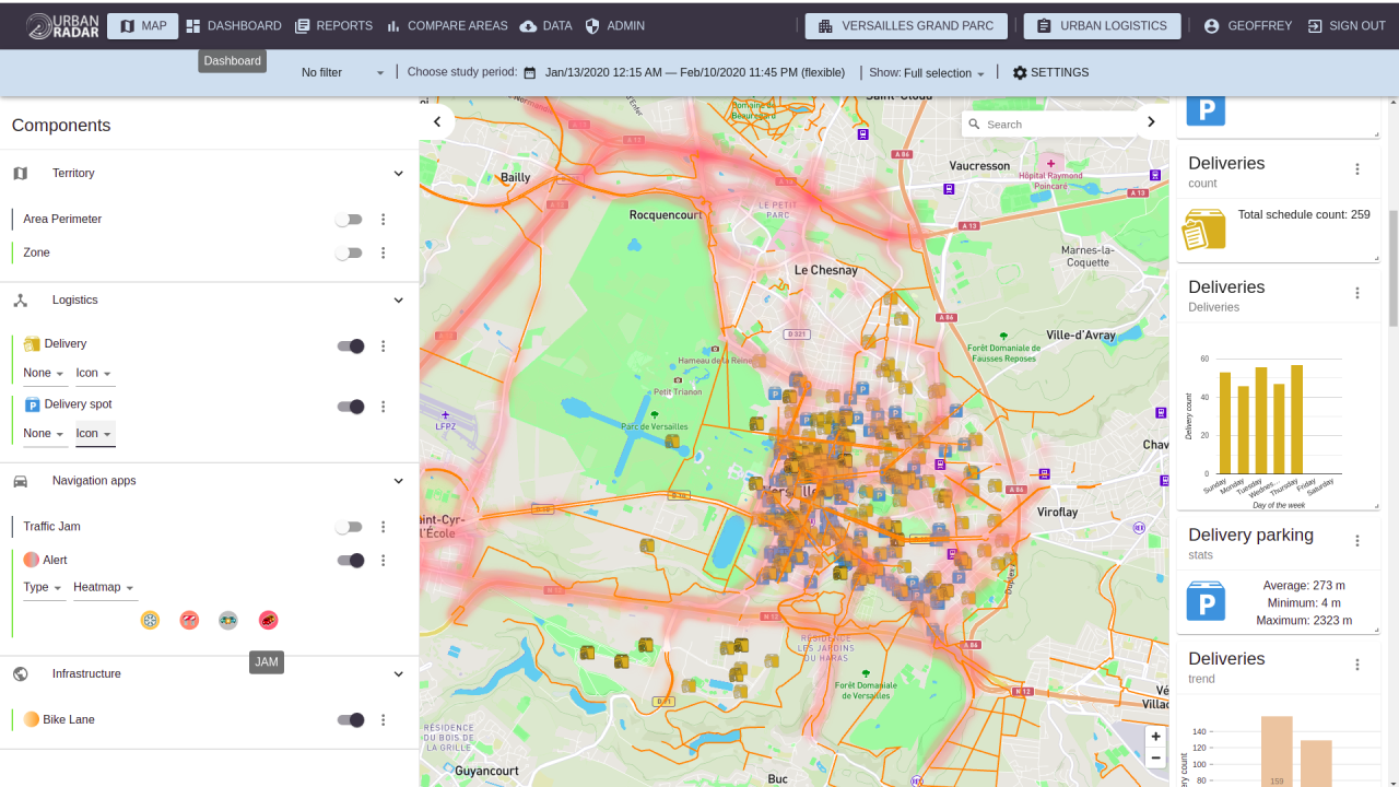
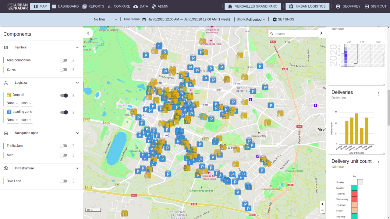
Urban Radar is a cloud-based software that aggregates real-time mobility and infrastructure data into a platform for planners. We provide visualisation, analytics and predictive features
The platform works with different products. Urban Logistics by Urban Radar combines strong urban expertise and data platform technology to provide planners with delivery patterns and trends within cities.
- Understand correlation between loading zones and actual deliveries
- Measure delivery volumes
- Map available loading zones
Click the "Contact us" button to start a conversation!
Best Practices
Discover and read more about the impact of Urban Logistics by Urban Radar through real success stories and tested implementations
Leuven: Reimagining the curbside
Cities curbs, being the interface between roads and sidewalks, are more contested than ever due to the growth of urban logistics, active mobility, and new mobility.
Availability
Discover cities and markets where the product is available