

Arkensight
The solution uses AI to analyse infrastructure from any camera, identifying assets, evaluating their condition and tracking changes over time
Supported by EIT Urban Mobility
Product Details
Arkensight is an AI-powered software platform that analyses imagery from virtually any source to automatically generate a structured inventory of infrastructure assets.
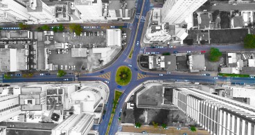
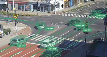
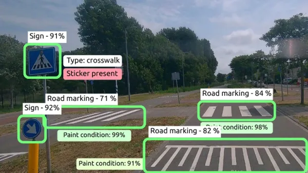
Users can connect imagery captured by vehicle-mounted, drone, handheld or fixed cameras. The software processes each image, detects predefined infrastructure objects, classifies them (such as stop signs, poles or lane markings) and identifies repeated observations so that assets captured multiple times are recorded only once. Using satellite and visual positioning, each asset is accurately mapped.
The result is a searchable digital inventory showing what each asset is, where it is located and how it has changed over time. For supported asset categories, the platform also provides condition assessments. The inventory is automatically updated whenever new imagery is captured.
Users can review and correct detections through an intuitive interface, with these corrections continuously improving the AI models.
Availability
Discover cities and markets where the product is available