

Digital School Route Planner
Data-driven Tool to identify and digitally map safe walking and cycling routes, especially for children and other vulnerable groups
Product Details
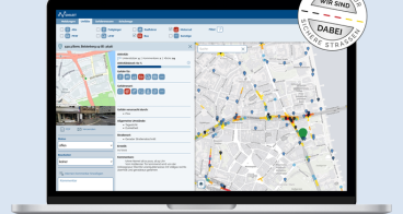
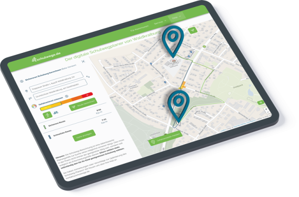
The “Digital School Route Planner” is a data-driven tool developed by the Initiative for Safer Roads in collaboration with parents, schools, and authorities to improve children's safety on their way to school. It identifies and maps safe walking and cycling routes by incorporating safety aspects of the infrastructure and various data sources into digital route planning. This includes accident data, but also near misses, speeds, traffic volumes as well as road infrastructure features such as zebra crossings, traffic islands, signage, and cycling lanes. On the schulwege.de platform, parents and their children can use an intuitive route-planning tool to find a personalised, safe route to school. Municipalites and schools could add further practical information to the map, such as drop-off and pick-up zones or long-term roadworks. This creates a comprehensive school route map that is available digitally to parents and pupils at any time and can be kept up to date at all times.
Availability
Discover cities and markets where the product is available