Testing accessible navigation in the London Underground
The Challenge
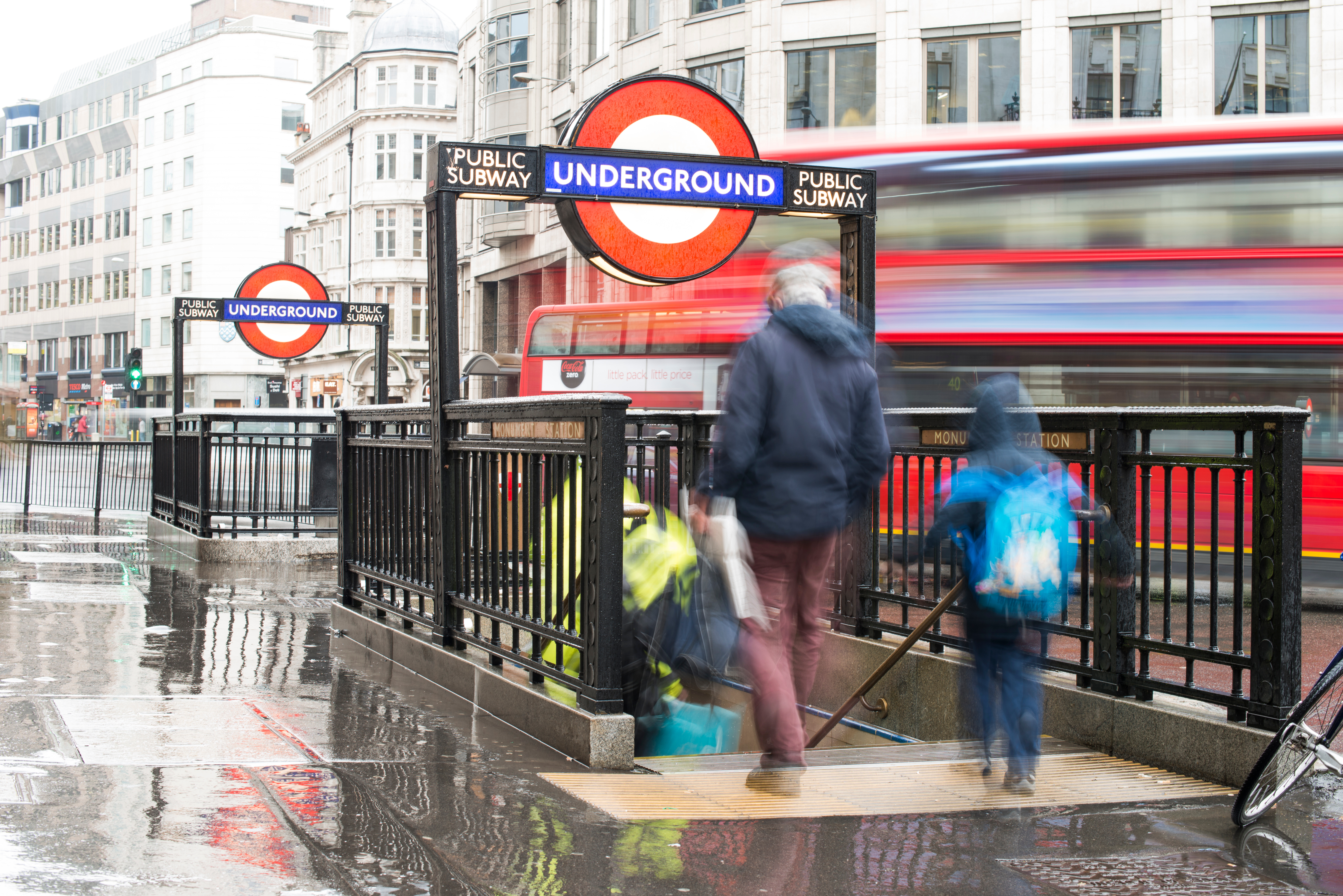
Large public transport hubs such as London Underground stations can be difficult to navigate, particularly for passengers who are blind or with visual impairments. Complex layouts, multiple entrances and exits, platform changes and crowded environments create barriers to independent mobility. Traditional navigation solutions rely heavily on GPS, which is sometimes unreliable or unavailable in underground environments or require costly physical infrastructure such as beacons or sensors to function indoors.
For transport operators like Transport for London (TfL), improving accessibility while maintaining operational efficiency is an ongoing challenge. Ensuring that passengers with visual impairments can move confidently and independently through stations is essential for inclusive mobility, but implementing scalable indoor navigation solutions across an entire transit network can be expensive and technically complex.
The Solution
Waymap deployed its smartphone navigation application in a London Underground station operated by TfL. The app uses a suite of proprietary algorithms to provide precise, real-time navigation indoors without relying on physical infrastructure, Bluetooth beacons or external signals. By using the sensors already present in smartphones, Waymap delivers step-by-step guidance with world-leading accuracy inside complex environments such as train stations.
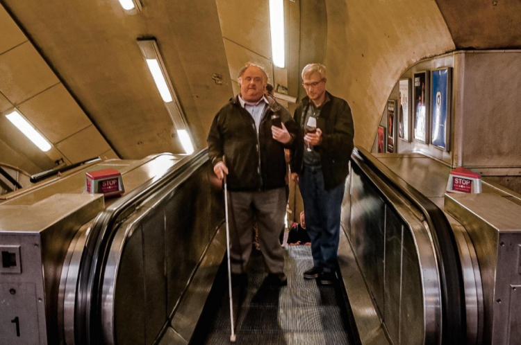
During the project, four demonstration and testing sessions were conducted at the station. Three sessions involved demonstrations to TfL staff, allowing multiple stakeholders to observe and test the system in real operational conditions. The fourth session was a user acceptance testing exercise with eight blind and participants with visual impairments. These users tested the app’s ability to guide them from station entry points through the interior of the station to key locations such as platforms. Participants then completed detailed surveys evaluating the onboarding process, navigation guidance and the potential impact on their public transport usage.
Making an impact
The testing demonstrated significant potential for improving accessibility and confidence among visually impaired passengers. Survey results showed that 100% of blind and participants with visual impairments reported that they would be more likely to travel independently if Waymap were deployed city-wide. This highlights the app’s potential to remove major barriers to mobility and independence for this user group.
The solution also showed promise for increasing public transport usage. Approximately 38% of participants with visual impairments indicated that they would be more likely to use public transport if Waymap were deployed across the network, while 84% reported that they would be more likely to use TfL services when Waymap navigation is available. In addition to accessibility benefits, Waymap produced highly accurate indoor maps of the station. These maps can support other operational uses, including station planning, fire safety preparedness, and first responder coordination. While improvements to station efficiency and congestion reduction require broader adoption to measure accurately, the technology has the potential to guide passengers more efficiently through stations and reduce navigation-related delays.

Lessons learnt
The project highlighted the importance of involving end users, particularly blind and individuals with visual impairments, early in the testing process. User acceptance testing provided valuable insights into how accessible navigation systems must deliver clear, intuitive guidance to be effective in real-world environments. Feedback from participants helped validate the app’s usability and demonstrated strong demand for reliable indoor navigation solutions.
Another key lesson was the value of infrastructure-free technology for large transport networks. Because Waymap does not require additional hardware installations, it can be deployed more easily and cost-effectively across multiple stations. The project also demonstrated that high-quality indoor mapping data can deliver benefits beyond navigation, supporting broader operational and safety applications for transport authorities such as TfL.