Products
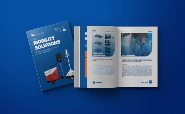
Explore market-ready mobility solutions across diverse needs and areas. Discover innovations proven to positively impact global smart cities.
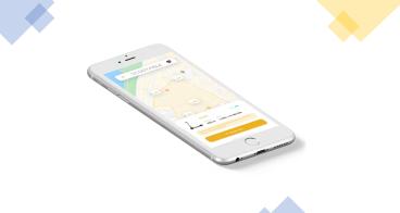
Scootable: Micromobility platform for scooters, e-bikes, e-cars
Do not worry about complexity of software and mobile apps, just focus…
Find out more...about Scootable: Micromobility platform for scooters, e-bikes, e-cars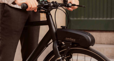
Zipforce Slim - eBike kit
Zipforce is a portable and light, easy-to-assemble electric motor…
Find out more...about Zipforce Slim - eBike kit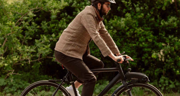
Zipforce Distance - eBike kit
Zipforce is a portable and light, easy-to-assemble electric motor…
Find out more...about Zipforce Distance - eBike kit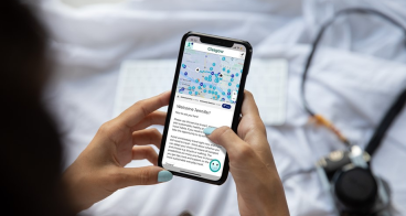
Smart Nudges Mobility
A cost-efficient tool that uses timely nudges, grounded in…
Find out more...about Smart Nudges Mobility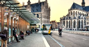
Elonroad: Electric road system
Electric roads extend driving range and reduce the need of large and…
Find out more...about Elonroad: Electric road system
Nemi: demand-responsive transport
Nemi makes public transport in low-density areas feasible by…
Find out more...about Nemi: demand-responsive transport
Asistobe PROGNOSIS: AI/ML algorithms to predict the future transport demand
Get AI-based automated predictions about the next period’s ridership…
Find out more...about Asistobe PROGNOSIS: AI/ML algorithms to predict the future transport demand
geoFluxus: Transparency platform for urban goods and waste flows
geoFluxus helps costumers to find better alternatives for their…
Find out more...about geoFluxus: Transparency platform for urban goods and waste flows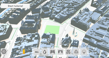
ModelMe3D: Immersive Co-Design of Public Spaces
ModelMe3D is the only co-design platform in the world where costumers…
Find out more...about ModelMe3D: Immersive Co-Design of Public Spaces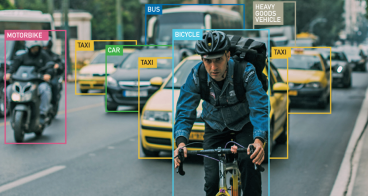
Greenroads
AI traffic video analytics tool for liveable and smart cities…
Find out more...about Greenroads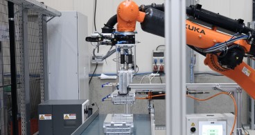

Walk15.app: Sustainable activity platform
Walk15.app Sustainable Activity Platform and Step Wallet helps…
Find out more...about Walk15.app: Sustainable activity platform190+ handpicked market-ready innovations supported by EIT Urban Mobility