Personalised indoor-outdoor navigation in Turin, Italy
The Challenge
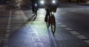
Turin faces significant challenges in ensuring safe and independent urban mobility for visually impaired citizens. The city’s complex street layout, high traffic density, and frequent construction zones create barriers that traditional pedestrian routing algorithms cannot adequately address, adding an extra layer of exclusion. Standard digital maps fail to capture temporary obstacles and dynamic risks, leaving vulnerable groups without reliable navigation support.
Within the project, Turin focused on integrating accessibility into the city’s existing smart infrastructure. The initiative leveraged 5T, the city’s local transport technology company, and its mobility management system - including traffic light data accessed via APIs - to enable collision-avoidance functions and safer street crossings, showing how open urban data can support inclusive innovation.
The Solution
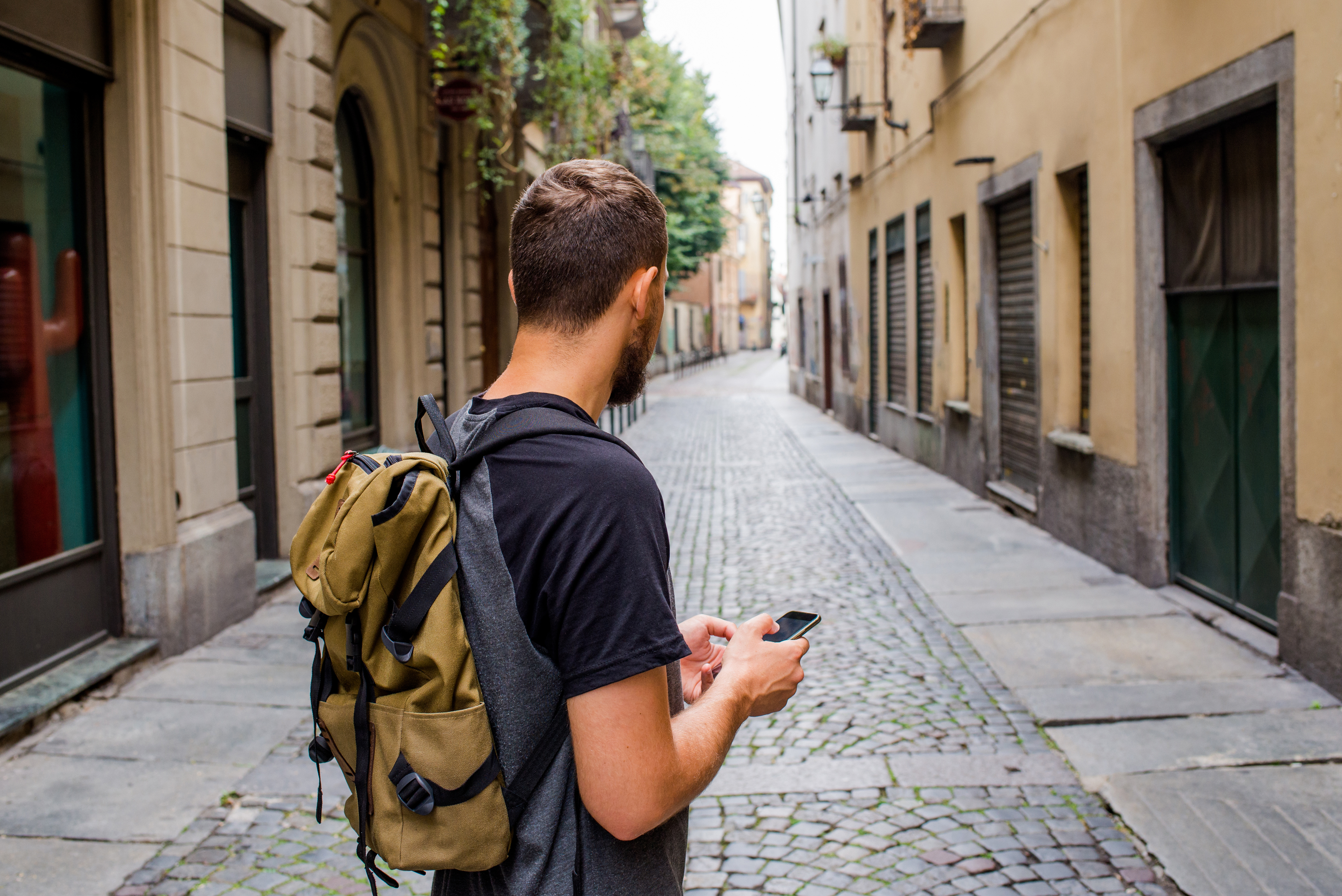
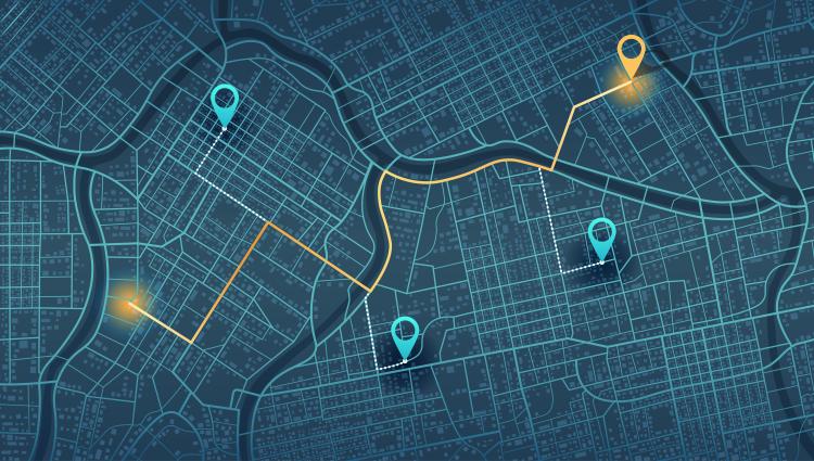
The Dreamwaves solution directly addressed the mobility barriers faced by visually impaired citizens by providing an intuitive, audio-based navigation system that goes beyond traditional pedestrian routing. Conventional mapping algorithms often fail in complex urban settings, sending users across unsafe intersections or cluttered sidewalks. This solution overcame this by enabling manual route definition, allowing accessible paths to be created that reflect real street conditions and pedestrian infrastructure. This capability was developed within the MoTo project and is a key differentiator.
The system combines several innovative features:
- Spatial audio guidance: 3D sound cues guide users naturally, so they can follow directions by “hearing where to go” without needing to interpret a map.
- Manual route creation and editing: routes can be designed in the web interface and, in future, directly in-situ by walking the path, ensuring accuracy and eliminating unsafe shortcuts.
- Obstacle annotation: sidewalk obstacles (e.g., trash bins, mailboxes) can be marked and photographed, enriching route data and avoiding cluttered paths.
- Integration with city APIs: real-time traffic light data was successfully integrated, offering reliable crossing support.
- Content enrichment: the system can add spatialised audio notes for points of interest, obstacles, or cultural artifacts, expanding usability to both mobility and tourism contexts.

Making an impact
The projectin Turin generated valuable insights across social, economic, environmental, and institutional dimensions.
Social impact: the pilot engaged approximately five blind and visually impaired participants, recruited through local associations. They tested accessible routes, obstacle annotations, and traffic-light integration across Corso Ventimiglia and the city centre. User feedback highlighted clear benefits: obstacle-free routes reduced effort and frustration, while spatial audio cues increased safety perception and confidence. One participant described walking along an obstacle-free sidewalk as “smooth and effortless compared to the exhausting detours on the opposite side of the street.”
Economic impact: the use case demonstrated how digital navigation can complement physical accessibility measures at low cost. Instead of relying solely on infrastructure changes, cities can integrate manual route creation and obstacle data to improve inclusivity. Early interest was generated among Turin’s museum foundation, which manages a network of institutions, opening concrete business opportunities beyond the pilot scope.
Environmental impact: By enabling more independent walking, the solution promoted sustainable urban mobility. Accessible routes also facilitated easier access to public transport, encouraging modal shifts from private to shared mobility.
Institutional impact: the collaboration between Dreamwaves, 5T, Fondazione Links and the City of Turin.
Lessons learnt
The pilot progressed successfully but revealed several challenges. A key pain point was the mismatch between data availability and project goals: while the traffic light API from 5T was integrated smoothly, collision data was not available within the timeframe. This highlighted the need for an earlier alignment on datasets and formats in future collaborations. Another challenge was the heterogeneity of user profiles - some participants did not use maps at all, while others focused on specific cues like turning instructions or obstacle density. Designing for such diversity underscored the importance of adaptable solutions and flexible route creation.
At the same time, several approaches proved highly valuable. Advancing external data integration early ensured visible progress even while user recruitment was pending. Engagement through local associations enabled trusted relationships with participants, which was more effective than broad outreach campaigns. The development of manual route definition emerged as a breakthrough, allowing safe, realistic routes that bypass the limitations of automatic routing.
These experiences confirm the potential for replication: by combining incremental data integration, strong user partnerships, and flexible design features, the solution can be successfully deployed in other cities and venues facing similar accessibility challenges.