Analysing pedestrian safety in Las Rozas de Madrid
The Challenge
The Municipality of Las Rozas de Madrid faces a lack of updated data on the accessibility of its pedestrian infrastructure, particularly sidewalks, crosswalks, and intersections with other transport networks. This data gap makes it difficult to ensure that the city's infrastructure meets the needs of elderly residents and people with reduced mobility.
Key missing information includes:
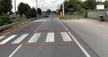
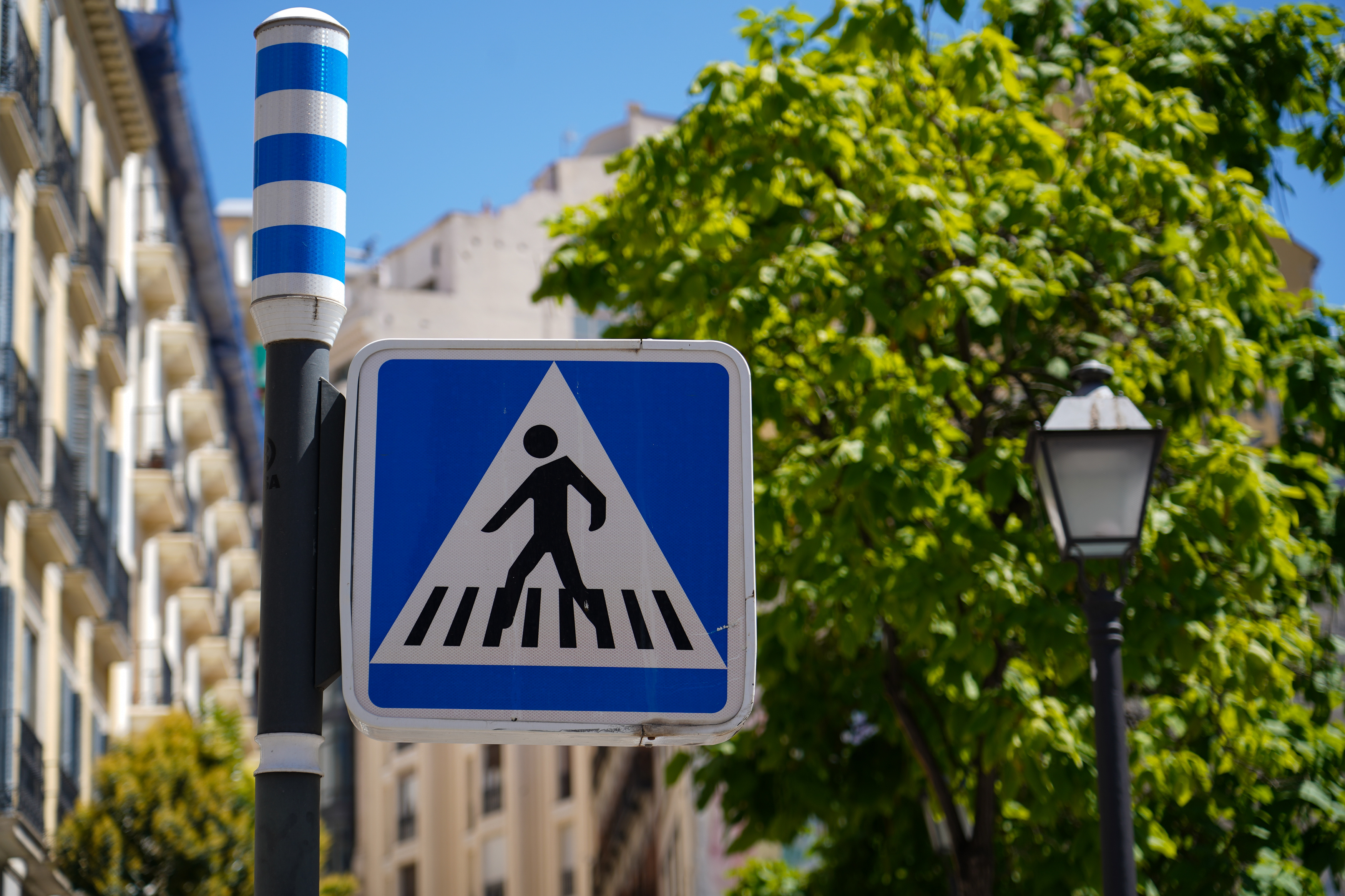
- Crosswalk details such as width, ramps, slopes, markings, and signage.
- Street furniture positioning, which may obstruct movement.
- Safety concerns at intersections, including vehicles bypassing buses at crossings and visibility issues.
While the Sustainable Urban Mobility Plan (SUMP) provides insights on specific routes, it lacks a complete overview of the city's accessibility, making it challenging to implement targeted improvements
The Solution
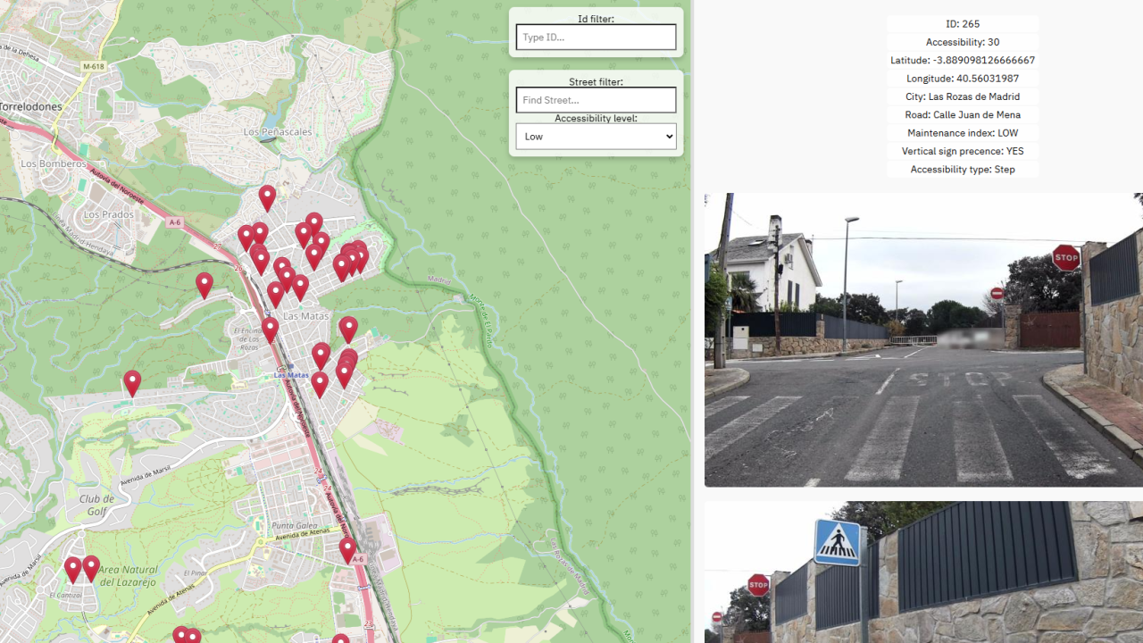
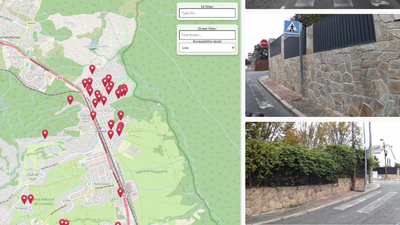
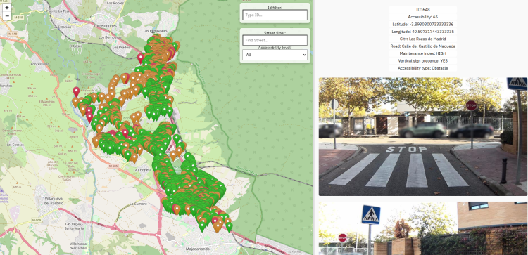
To address this issue, the municipality collaborated with LOKI startup, one of the winners of RAPTOR 2024 , to test an AI-driven system installed on a vehicle to identify, geolocate, and classify road defects and assess pedestrian infrastructure. This system, known as AIPECRA, collects and analyses data, providing municipalities with actionable insights to enhance urban accessibility and safety.
During the deployment, the AIPECRA system scanned the entire city, geolocating and classifying 2,411 pedestrian crosswalks. The system used high-resolution cameras and GNSS technologies to collect precise geospatial and visual data, which was then processed by AI algorithms to assign an Accessibility Index* to each crossing. This provided the city with an objective, data-driven evaluation of urban walkability.
*Accessibility Index: a system of points developed by the project to assess crosswalk accessibility based on the following parameters: maintenance, vertical signage, presence of steps, obstacles, or ramps.
Making an impact
The innovation demonstrated the effectiveness of AI-powered urban scanning in identifying accessibility gaps and providing city planners with valuable, actionable data. Key results included:
- Evaluation of the AIPECRA System in a real-world setting
- Successfully scanned 2,411 pedestrian crosswalks.
- Provided accurate Accessibility Indexes for each crossing.
- Scalability and cost-effectiveness
- Proved that large-scale urban scanning is feasible.
- Demonstrated the cost-effectiveness of AI-driven accessibility assessments.
- Insights for urban planning
- Delivered a comprehensive report outlining accessibility improvement recommendations.
By leveraging technology and data-driven insights, Las Rozas de Madrid now has the tools to prioritise infrastructure upgrades and enhance pedestrian accessibility for all.
Lessons learnt
- AI technology can significantly improve urban accessibility assessment by automating data collection and providing precise, geolocated insights.
- Scalability is key: the successful city-wide scanning of Las Rozas de Madrid proves that this approach can be replicated in other cities.
- Objective data supports better decision-making: the municipality can now plan targeted interventions based on comprehensive, real-world insights.
By integrating AI-driven accessibility assessments into urban planning strategies, cities can create safer, more inclusive pedestrian environments, ensuring that all residents - regardless of mobility - can navigate public spaces with ease.