Mobile Mapping with Feature Extraction
Visualise roads with pinpoint accuracy to plan infrastructure projects more efficiently, streamline stakeholder communications, and mitigate risks.
Product Details
Survey More Miles for Less
Users revolutionise the way they survey road infrastructure with Mobile Mapping: a highly accurate, efficient and cost-effective survey method.
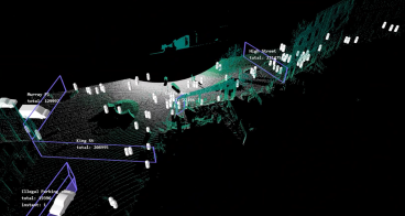
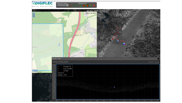
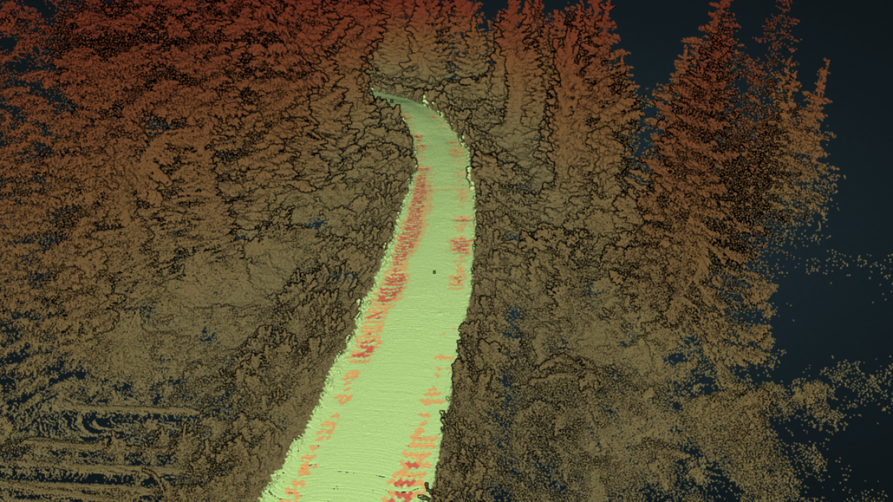
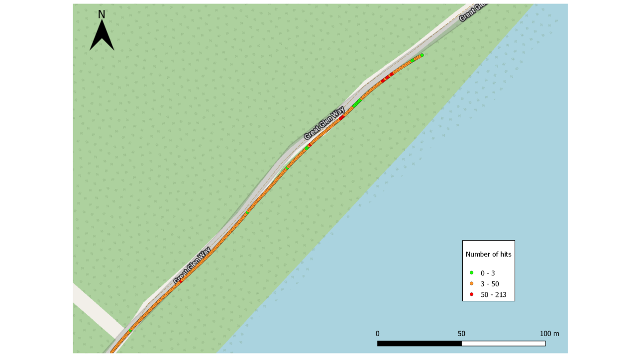
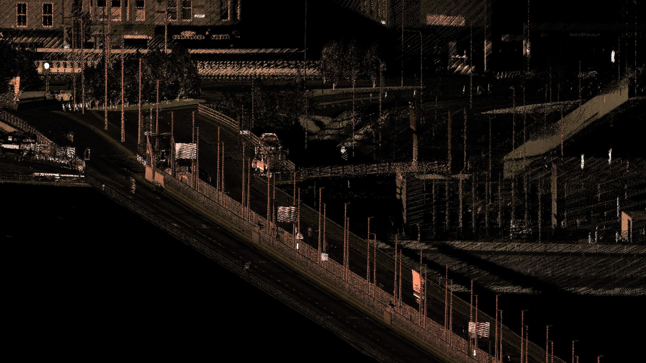
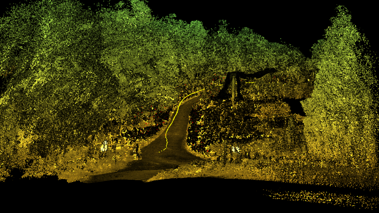
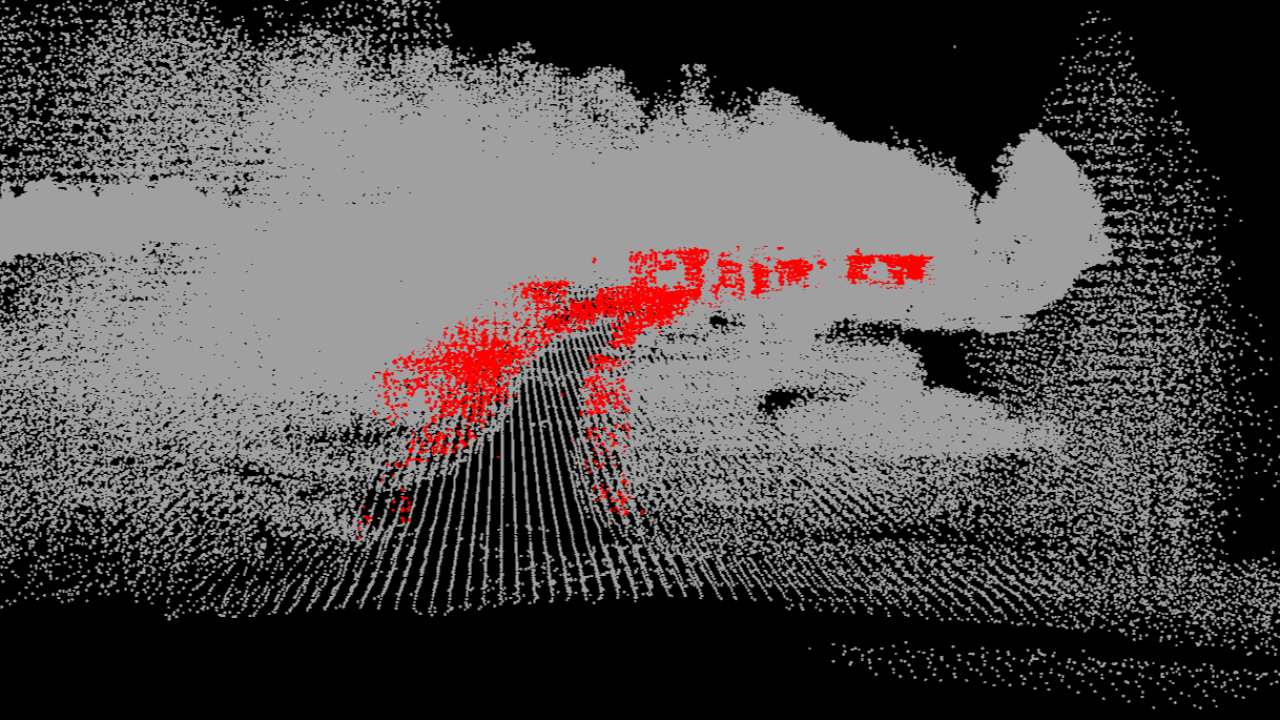
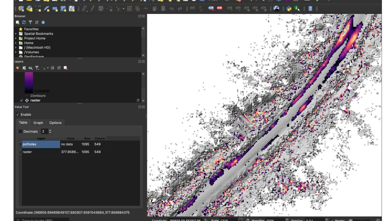
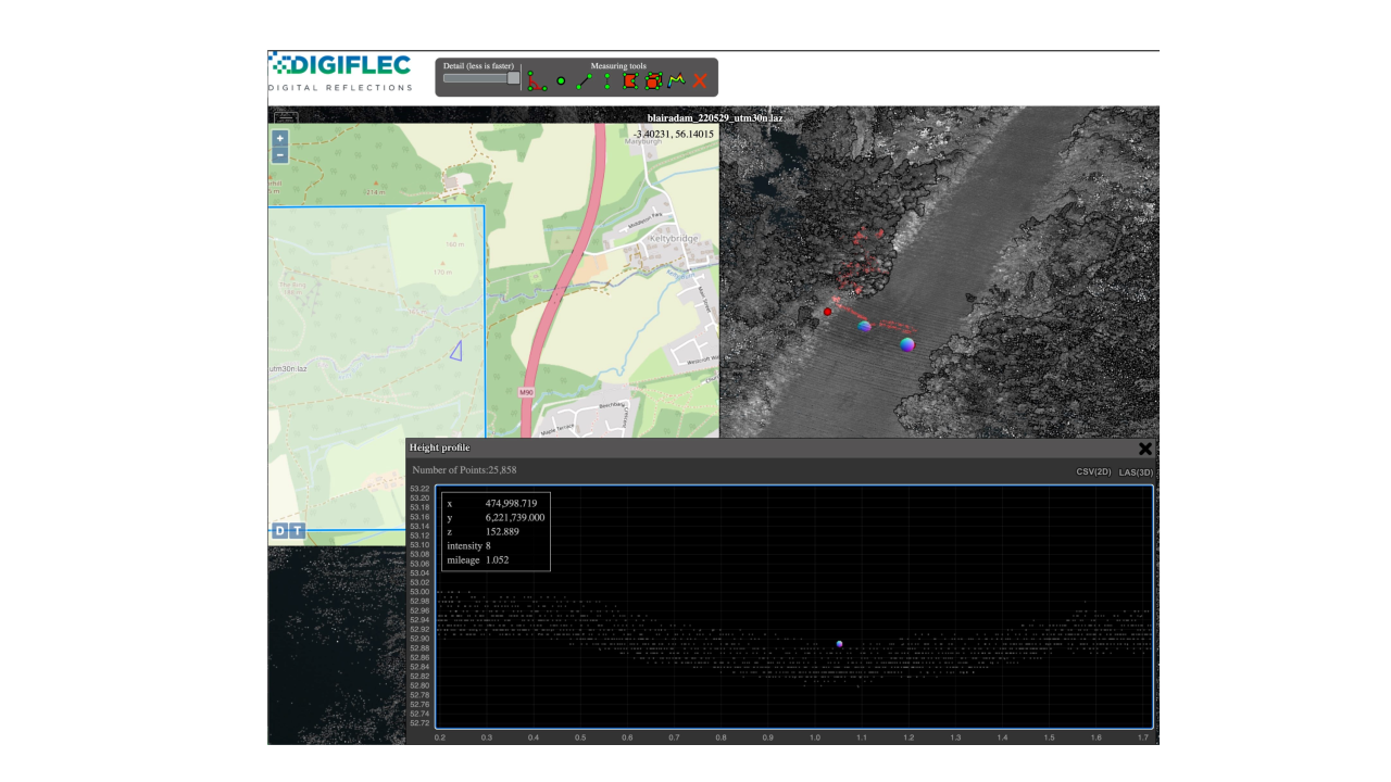
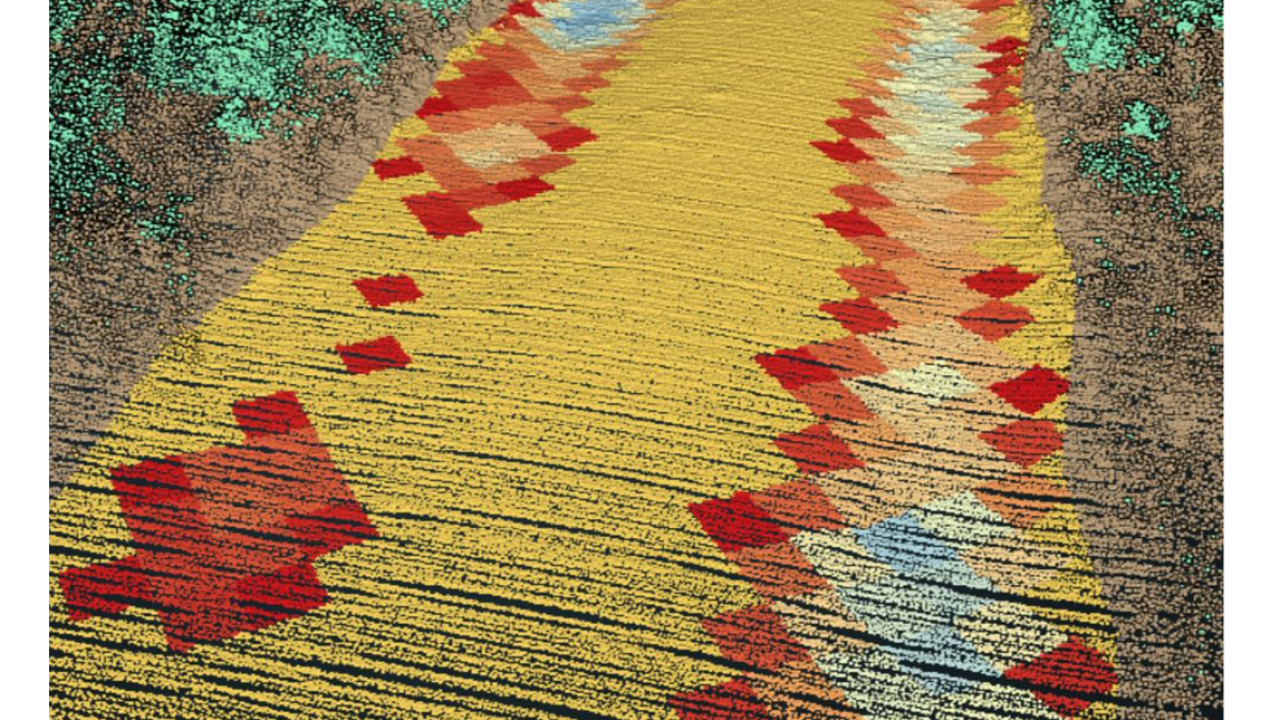
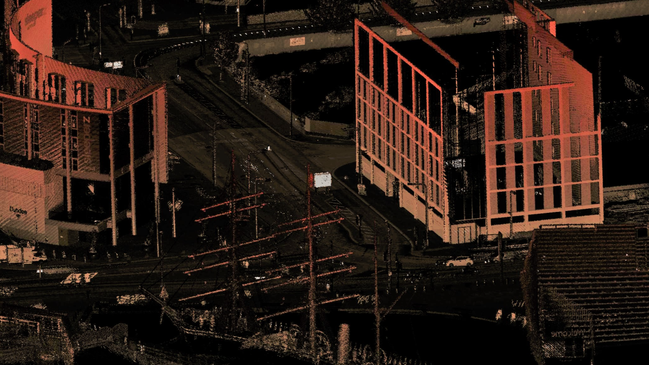
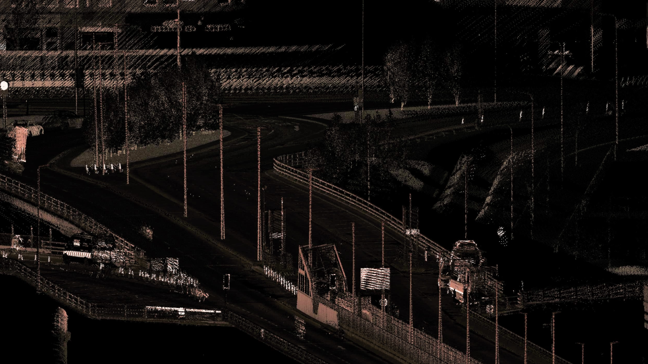
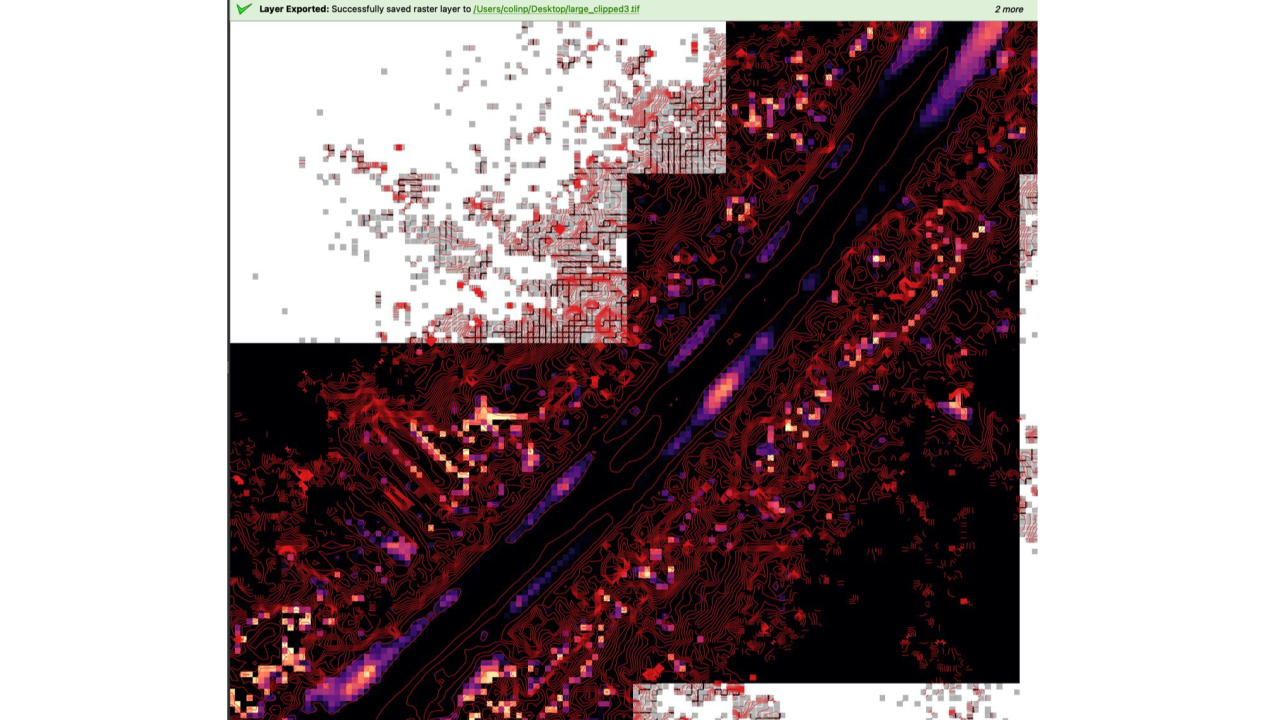
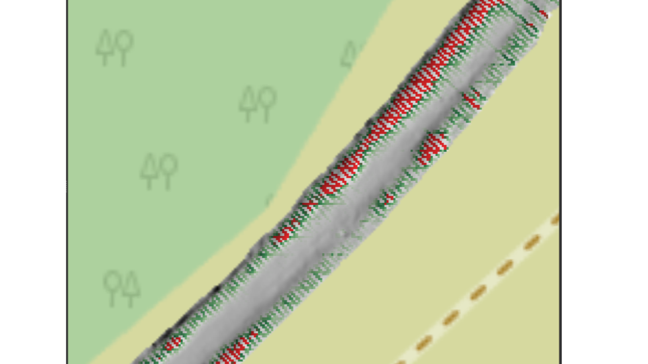
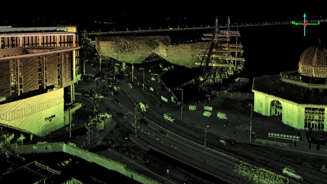
Digiflec’s mobile mapping system gathers high-density and high-accuracy data to help users plan infrastructure projects more efficiently, streamline stakeholder communication. The LiDAR-based mapping system gathers geospatial data which is comprised of a collection of co-located charted points that can be recontextured as 3D models.
This cutting-edge equipment and software provide a detailed 360-degree overview of any terrain, allowing users to make informed decisions for path planning, road maintenance, and evidence conditions pre and post construction to protect the owner and third parties.
Say goodbye to time-consuming, expensive surveying methods, and step into to the future of road surveying.


Availability
Discover cities and markets where the product is available