ROAD System
The solution combines AI and human-driven data collection to streamline road maintenance, improving the safety, comfort, and accessibility of cycling paths - all while saving time and resources.
Supported by: EIT Urban Mobility
Product Details
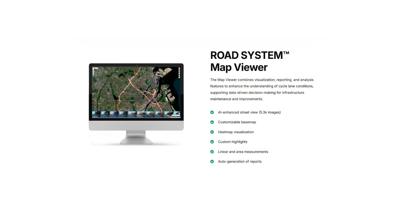
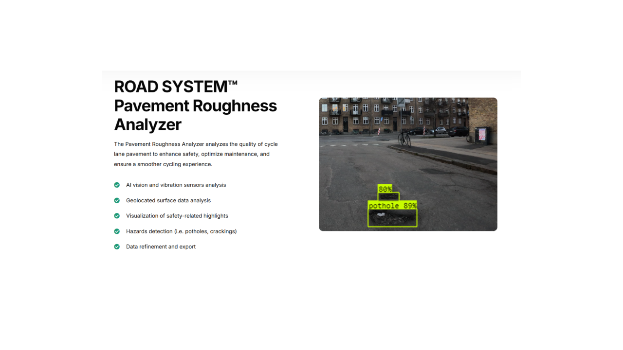
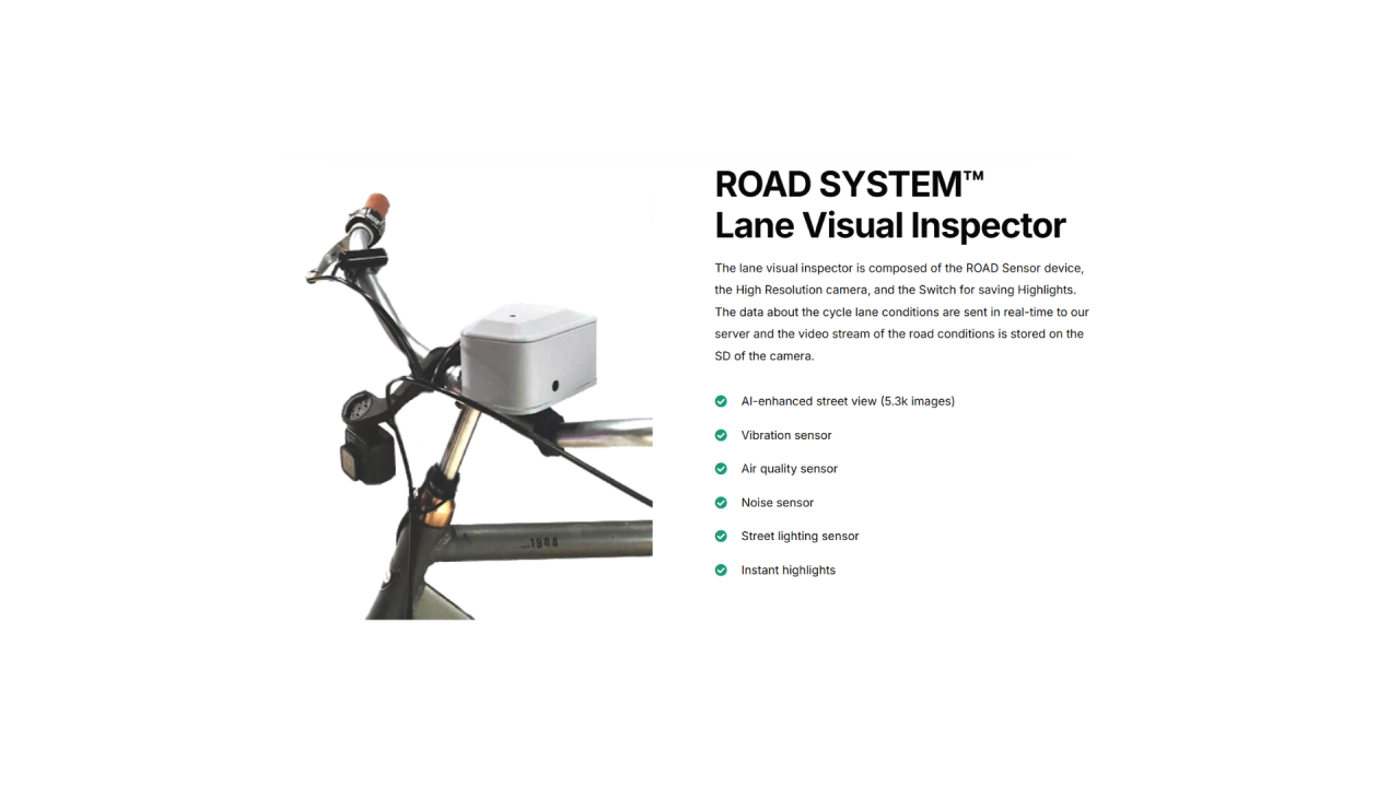
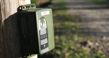
The ROAD System is an AI-powered solution that scans and collects data along cycling paths to assess and rate the quality of micro-mobility infrastructure. It uses IoT sensors installed on bikes and data from Copernicus satellites to gather key information on road conditions.
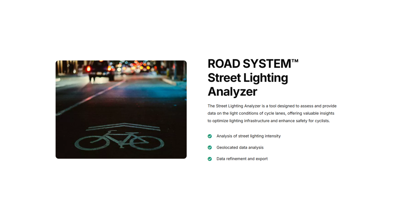
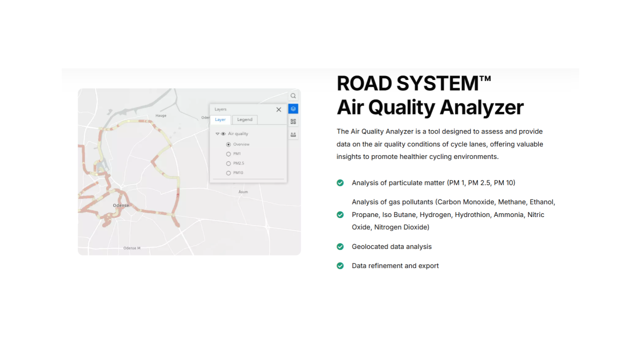
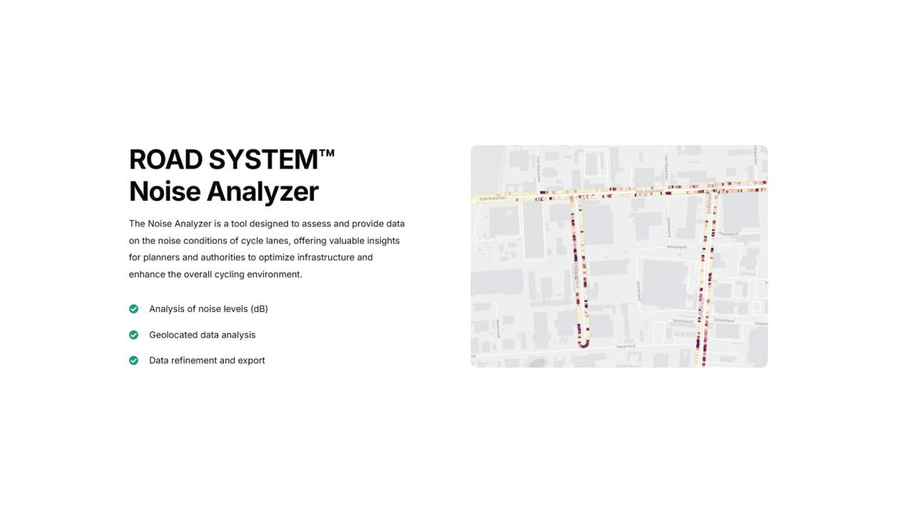
The system identifies road anomalies and monitors critical factors affecting micromobility, such as light conditions, traffic, air quality (including dust particles and pollutants), and noise levels. Using 4G/5G technology, the data is transmitted to a cloud infrastructure for processing and conversion into GIS datasets.
Environmental data, including air dust (PM1.0, PM2.5, PM10) and pollutants (O3, NO2, CO, CH2O, SO2, CH4), is collected from the European Sentinel 5P satellite and integrated with road scan data.
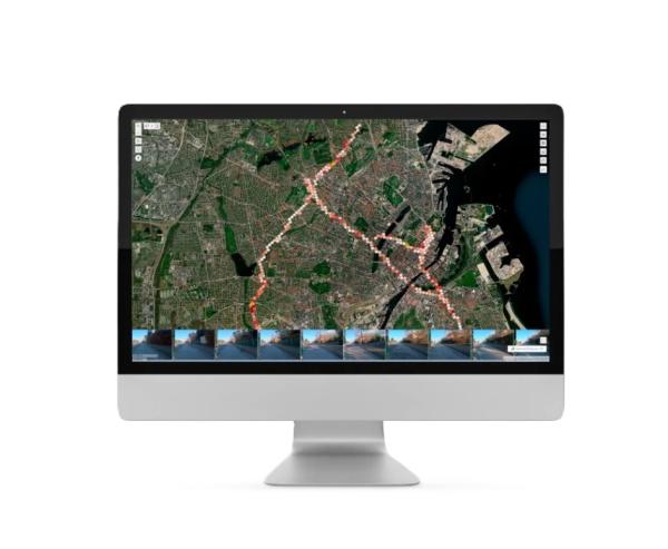
The analysed data is then displayed on a dashboard, providing a fast, cost-effective way to address road issues and improve infrastructure.
Best Practices
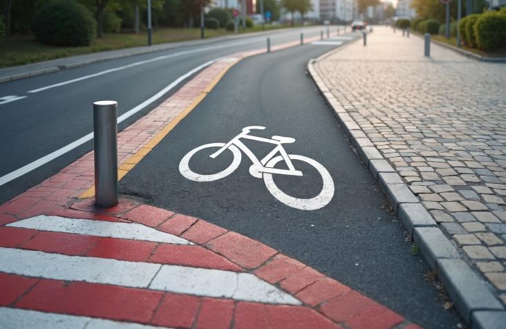
Cycling infrastructure assessment in Barcelona, Albertslund and Sarajevo
Availability
Discover cities and markets where the product is available


