Strava Metro: Data for bicycle and pedestrian planning
Metro is a free tool that aggregates, de-identifies and contextualises Strava data to help make communities better for anyone on foot or on a bike.
Product Details
With a community of over 100 million people around the world, the Strava dataset is the largest collection of human-powered transport information in the world. Metro aggregates, de-identifies and contextualises this dataset to help make cities better for anyone on foot or on a bike.
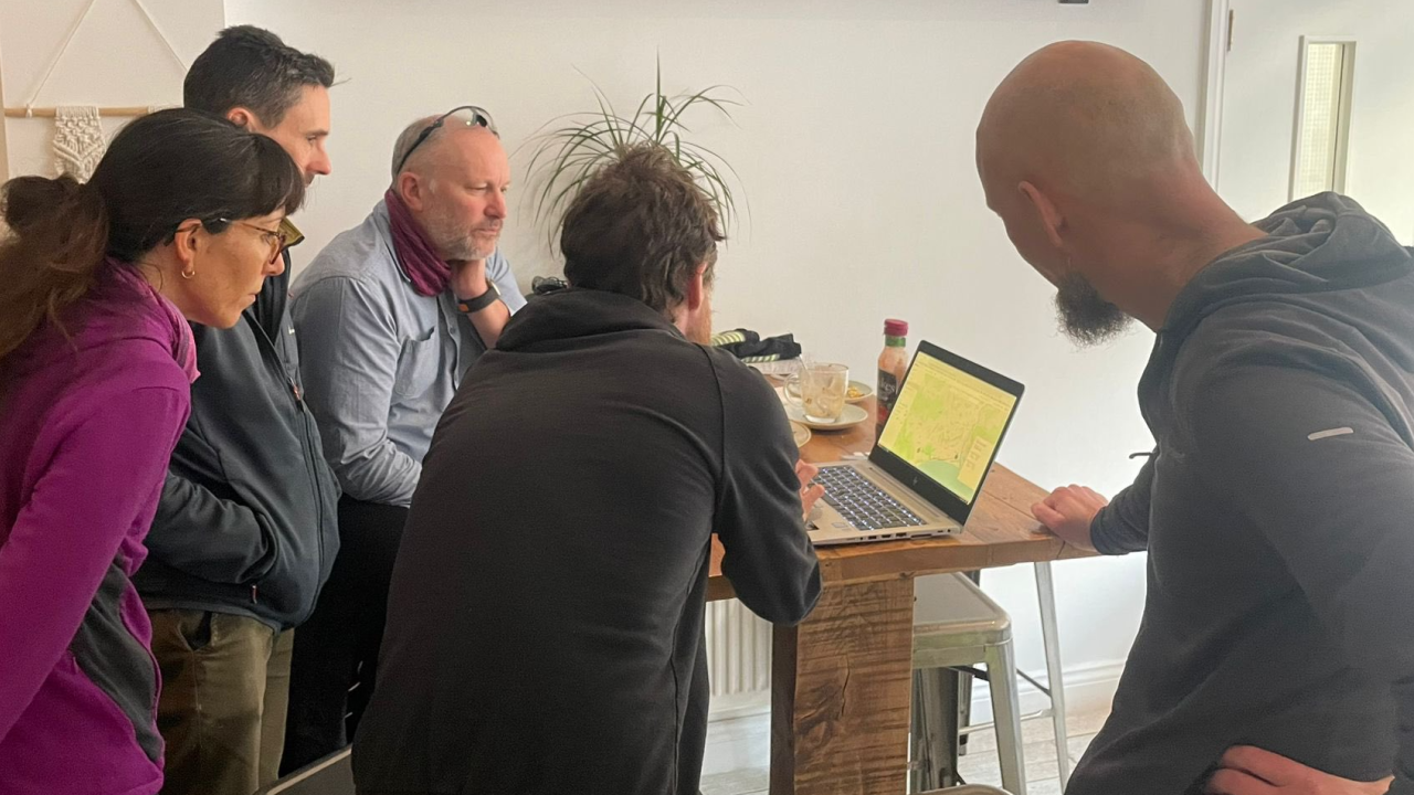
We work with urban planners, city governments, national parks and safe-infrastructure advocates to understand mobility patterns, identify opportunities for investment and evaluate the impact of infrastructure changes – all completely free of charge.
Millions of people track their rides, runs and walks to Strava every week with their phone or GPS device. With respect for our community’s privacy, Metro strips this dataset of identifiers and aggregates it. What is left is a vast source of trends and insights.
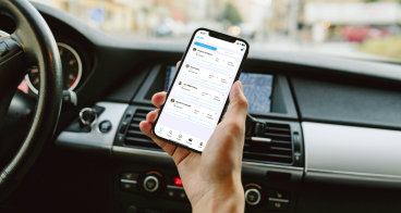
Strava Metro’s new web platform helps partners explore trends, visualise patterns and draw insights simply and intuitively – no technical experience required.
With a community of over 100 million people around the world, the Strava dataset is the largest collection of human-powered transport information in the world. Metro aggregates, de-identifies and contextualises this dataset to help make cities better for anyone on foot or on a bike.
We work with urban planners, city governments, national parks and safe-infrastructure advocates to understand mobility patterns, identify opportunities for investment and evaluate the impact of infrastructure changes – all completely free of charge.
Millions of people track their rides, runs and walks to Strava every week with their phone or GPS device. With respect for our community’s privacy, Metro strips this dataset of identifiers and aggregates it. What is left is a vast source of trends and insights.
Strava Metro’s new web platform helps partners explore trends, visualise patterns and draw insights simply and intuitively – no technical experience required.
Availability
Discover cities and markets where the product is available