

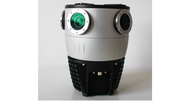
Mosaic X: 360º camera for 3D modelling and mapping
Mosaic X is a purposely-built, top quality mapping camera that allows accurate 3D reconstruction and coloring of point clouds
Supported by EIT Urban Mobility
Product Details
Designed and built from the ground up to quickly capture image data and create 360° and 3D images, faster than any other solution. Ideal for photogrammetry, 3D modelling and mapping!
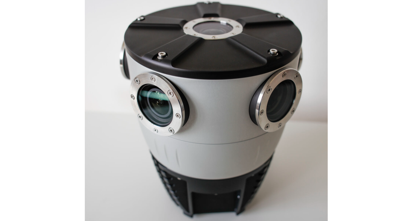
- Global shutter sensors
- 6 x 12MP sensors / Full pano 78 MP
- 13K Resolution
- Onboard GNSS
- Sealed, water and dust-resistant housing
- Protected lens, easily replace lens covers when scratched
- Max 10 FPS
- Excellent data capture in tunnels
- Easy to manage (1 driver with almost no training)
- No need for computer in a vehicle
- Integrate with additional devices
All Mosaic cameras:
- Deliver exceptional quality photorealistic street-level image 360º data
- Reliably operate in harsh weather (Temp: -10º - 45°) & climate conditions (Humidity Range of 0-100%)
- Come non-vendor locked, so users can choose the software solution that fits their needs
- Are capable of integrating with external sensors (IMUs, GNSS, LiDAR, etc.)



Availability
Discover cities and markets where the product is available