Mapalyse: Public Participation GIS Tool
Increase citizen engagement by collecting public opinions to understand mobility behavior and desires within map-based mobility surveys and analytics tools
Supported by: EIT Urban Mobility
Product Details
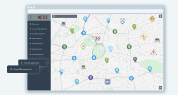
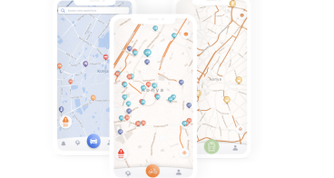
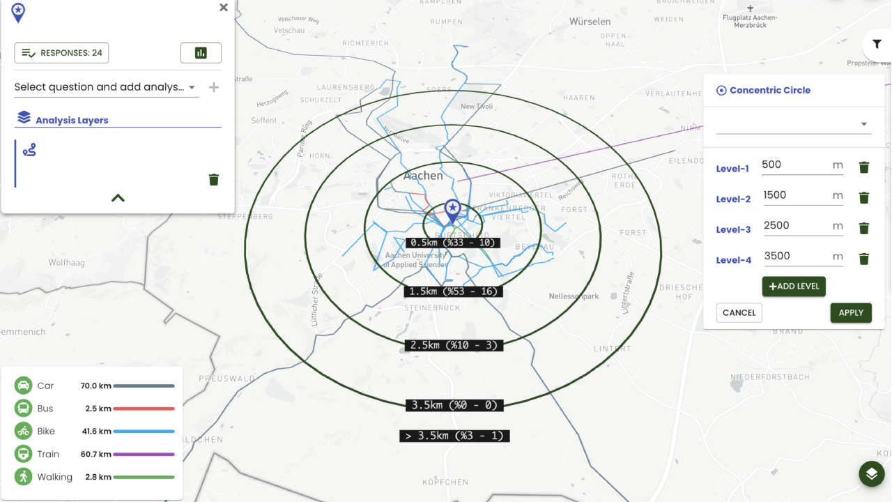
Mapalyse is a public participation GIS tool for the effective multimodal mobility management by mobility surveys and map-based analytics.
- Route drawing on the map by selecting the mode of transportation
- Map-based analysis of settlements, preferred modes of transport, etc. in a fast and easy way
- Analysing the locations of dangerous points that will threaten traffic safety on the routes and their effects on mobility behaviours
Usage areas example:
- Mobility behaviour analysis and management of employees for companies, institutions, etc.
- Mobility behaviour analysis and management of students and parents, routes to school, etc.
- Potential danger points, settlements, etc. representation and analysis


Availability
Discover cities and markets where the product is available