Cartologica: Asset inventory solution
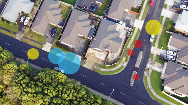
Using digital techniques, Cartologica inventories every type of asset that is visible from the road to put them to use in the daily operations of both the public administration and business.
Product Details
The experience shows that the government and businesses that rely on existing inventories typically only use them sparsely.
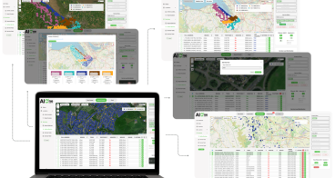
Cartologica made the decision to change this by offering our inventory in formats that are known to almost everyone and do not require a specific platform, hardware, or level of expertise.
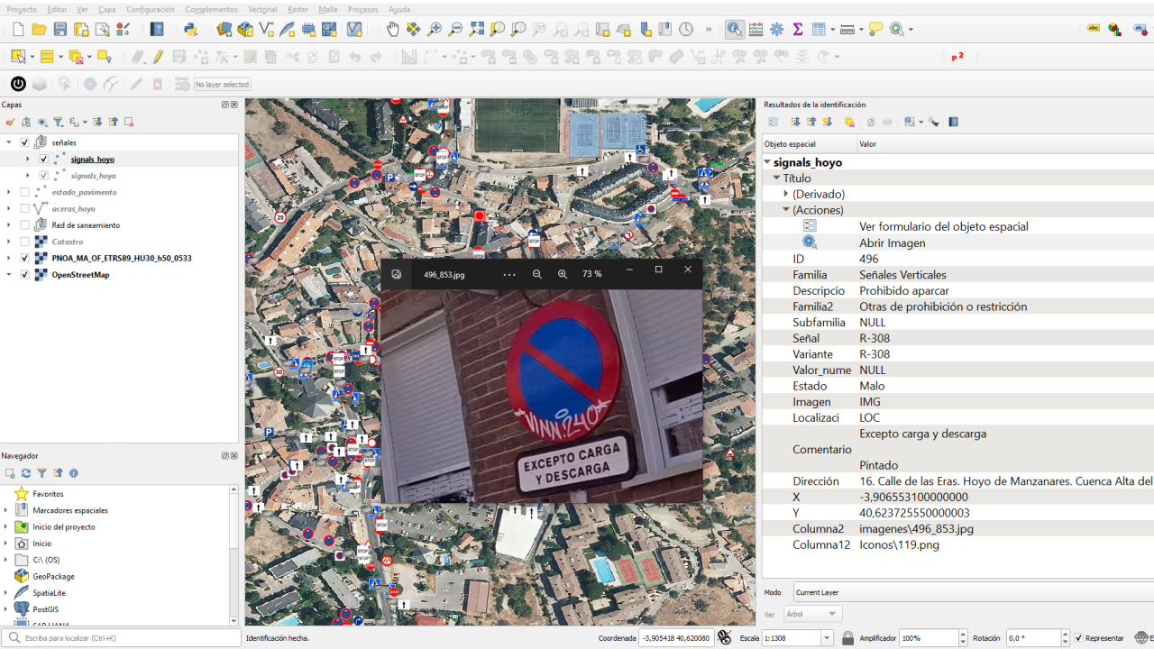
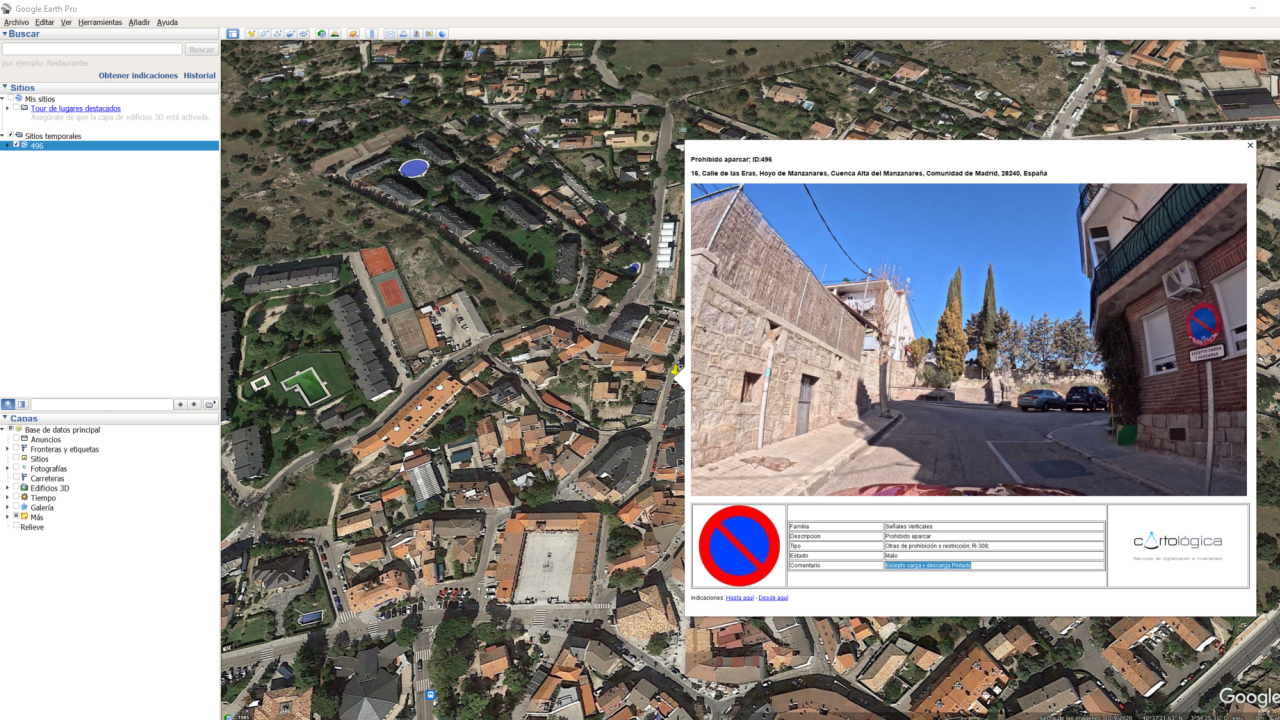
- Geospatial layers are suitable for many opensource or free platforms such as QGIS and Google Earth.
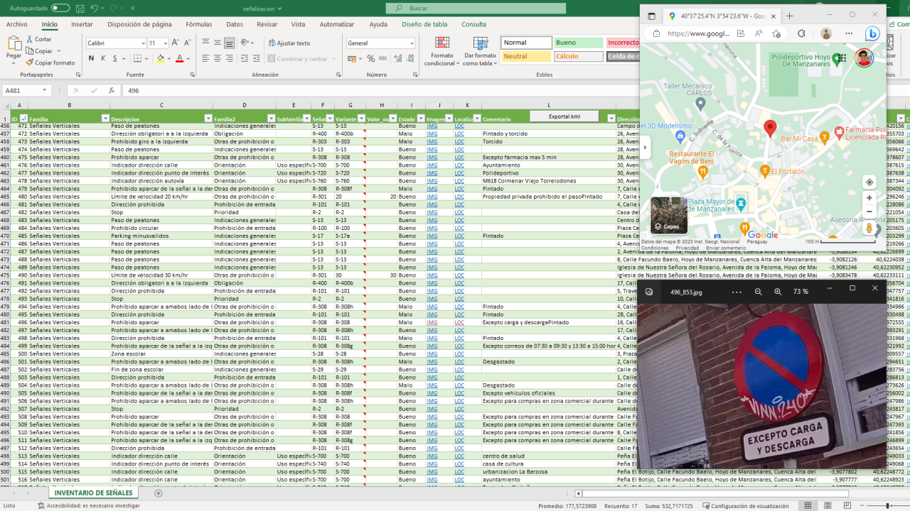
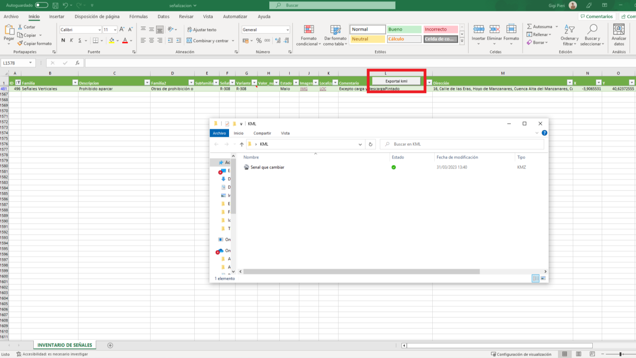
- Excel is a mainstream tool that almost everybody is capable to read and use at a basic level.
Apart from the format, in Cartologica's inventories counts at least on:
- Geolocation
- ID
- An image
Availability
Discover cities and markets where the product is available


