Leuven: Reimagining the curbside

The Challenge
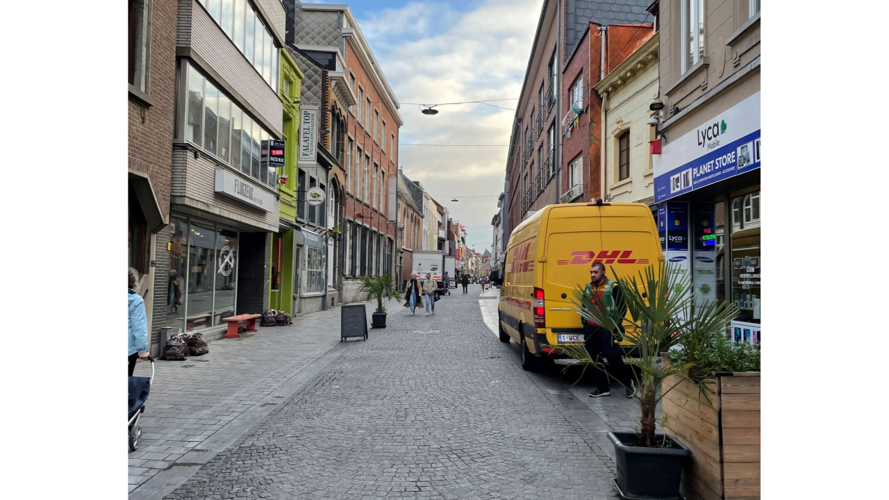
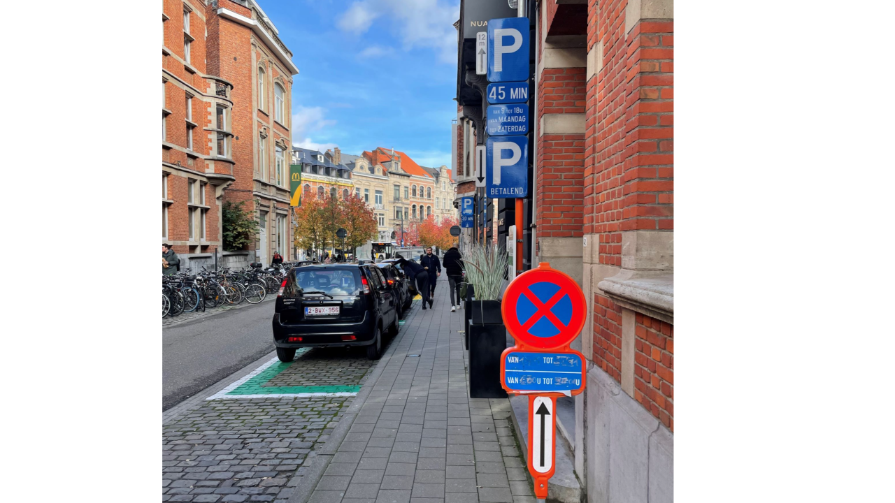
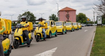
Cities curbs, being the interface between roads and sidewalks, are more contested than ever due to the growth of urban logistics, active mobility, and new mobility.
Despite the growing relevance of curb space in cities, public administrations often lack the capacity to respond to these competing needs, and struggle to identify how to best regulate their curbs to improve logistics, mobility, and congestion. Factors contributing to this situation includes:
- Fragmented or inexistent understanding of curb assets and regulations
- Missing global picture of who and when is the curb most and least used
- Cities have limited resources to analyze and disseminate knowledge of the curbs and their regulations
- Unable to identify gaps or inconsistencies in curb allocation
- Unable to effectively communicate regulations for specific use cases
The Solution
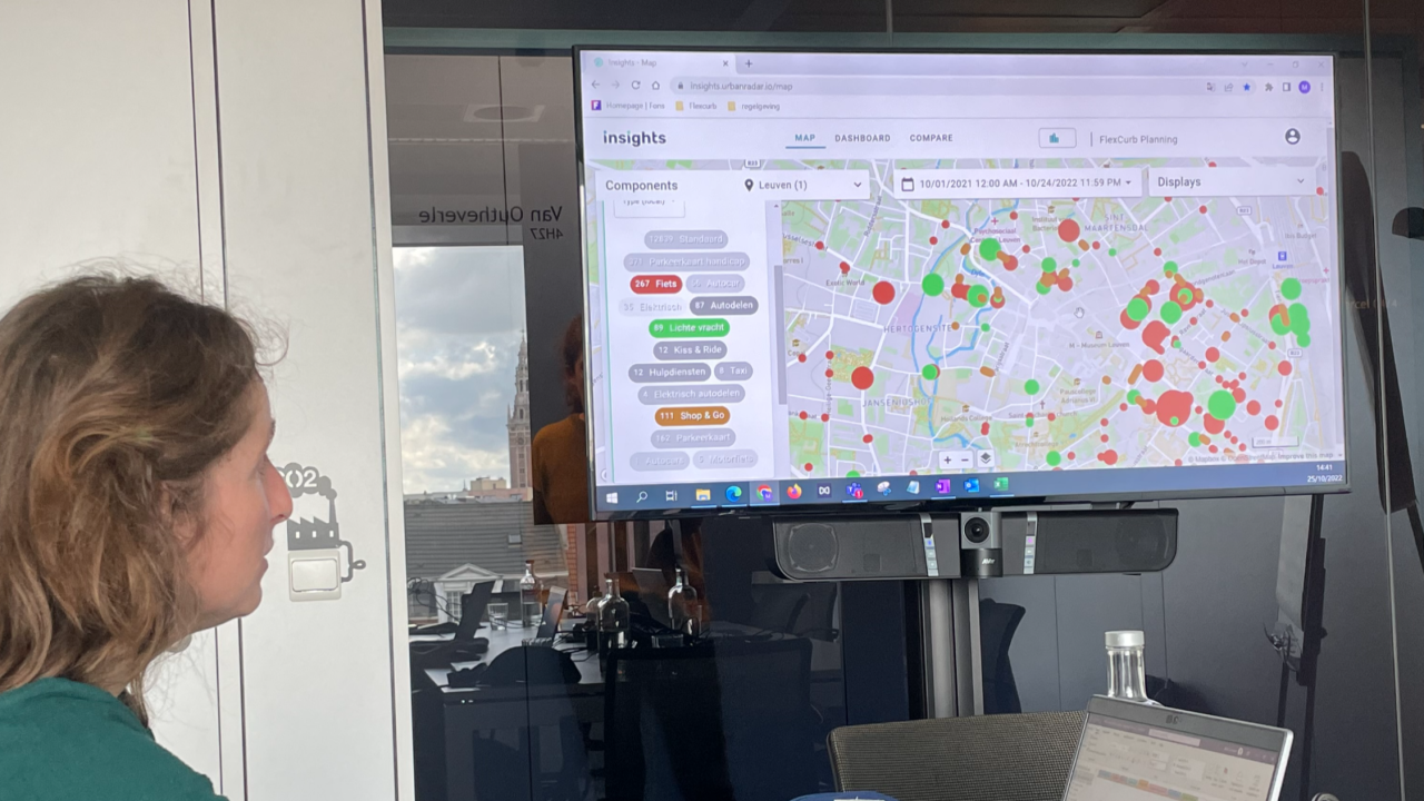
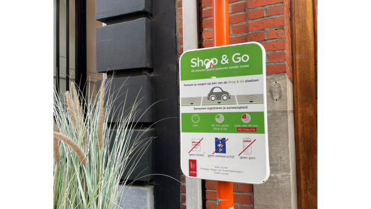
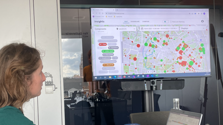
FlexCurb Planning; is a web-based platform for city managers and officials that offers a consolidated and accessible inventory of the curb zones and their regulations. The platform reveals patterns of curb allocation for different users, with a special focus on Loading zones, bike and handicap spaces, and general parking. Using the platform, city decision makers better understand the gaps and inconsistencies of the current supply of parking spaces and the effectiveness of dynamic uses of the curb. The insights provided by the platform inform city managers on where and how to make interventions to better allocate the needs of curb users.
The FlexCurb Planning platform’s features include:
- Map visualizations of curb assets, which reveal in detail the features and regulations of each curb zone and space. Advanced visualizations also reveal the coverage, distribution, and density of each type of curb space, revealing areas of under- and over-supply of each type of curb and parking space.
- Advanced map filtering, to tailor your analysis to specific zones of interest and combinations of curb types.
- Analytics dashboard, provides intuitive key metrics on the curb allocation and its regulations that enrich the analysis of the curb supply.
- Comparison tool, which expands the capabilities of the analytics dashboard, allows comparison between different areas within the city, or even with other cities.
- Expansion plugins, which help enrich analysis by through custom data layers.
Making an impact
The deployment of the FlexCurb Planning platform helped Leuven accelerate their efforts to improving urban freight by facilitating better access to small vans for loading and unloading operations. Some early achievements include:
- Standardized digitization of 30,948 curbside places, covering 385,402 m2 of public space, which enabled evaluation of 263 light freight curb spaces to align with Leuven's SULP.
- Improved relationships and collaborations with the local logistics industry.
- Accelerated the achievement of their sustainable mobility plans, identifying the areas with highest chance of curb and parking reconfigurations, including those areas that would benefit the most by adding dedicated bike parking spaces.
- Advanced vision of flexible use of the curb, by locating areas with potential mixed parking, such as mixed private cars/urban freight, and bikes/urban freight.
- Empowered multiple departments within the city organization to better manage the existing curb space. The platform supported access to parking spaces that best match users' unique needs, based on the type and size of the vehicles, date and time of usage, etc.
- The conclusions gathered from the use of the platform generated evidence to shift the political and convince the public of the benefits of the planned improvements to the curb and public space.
For all the cities in the project, 150,058 curbside places were digitized (1.55 km2 of public space), of which 2,259 loading zones were analyzed to improve city logistics.
Lessons learnt
- Identification of strategic goals and objectives. Having defined clear objectives according to strategic plans helped focus curb improvement efforts. Leuven targeted their analyses to the most critical aspects of the curb, which in their case was the improvement of logistics and mobility efficiency through better Loading Zones regulations.
- Empowering non-technical city officials: by having easy access to the digital curb inventory in a web-based platform, decision makers could confidently find more options for curb improvements and interventions, including changes at city and district wide level, but also at hyper-local level, targeting specific loading zones, their size, and accessibility regulations.
- Active engagement with private stakeholders. Building a collaborative relationship with local logisticians and freight related companies, helped better prioritize the infrastructure and regulatory interventions that were needed. As part of this process, surveys, workshops, and ride-alongs were conducted, which complemented Leuven’s understanding of their curb and logistics related challenges.